
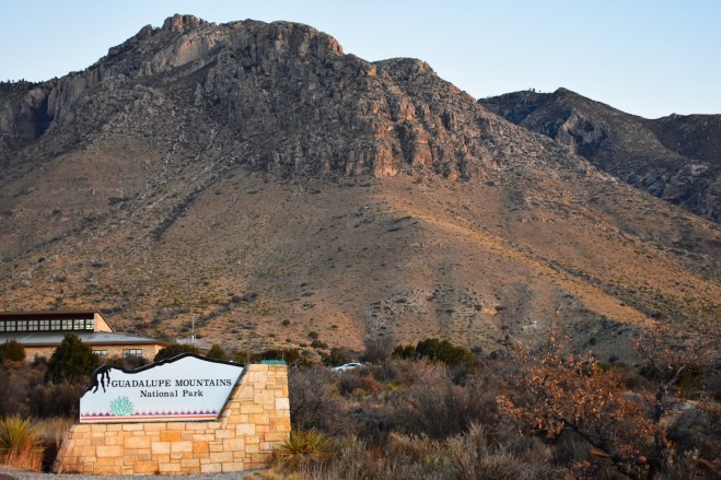
So this is park 1 in a series of 3 parks I explored recently in my TX/NM trip 🙂
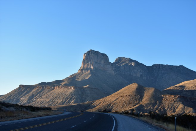
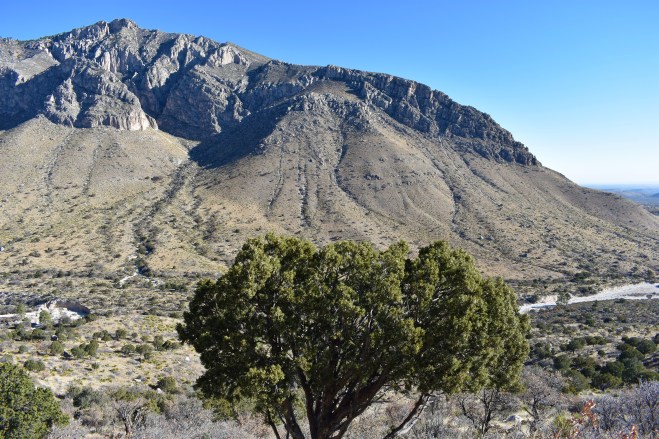
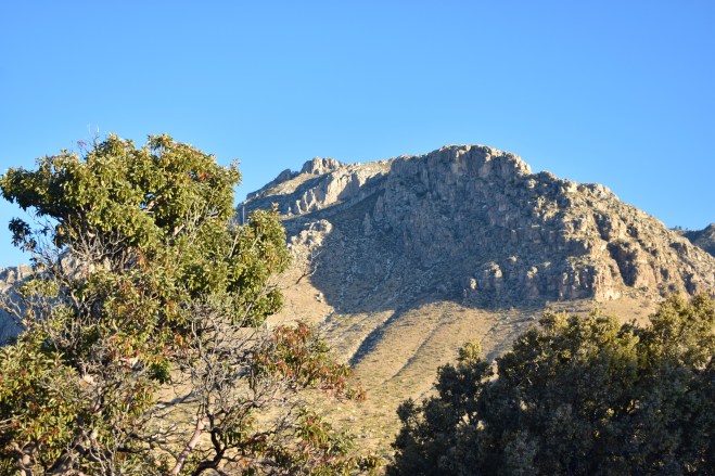
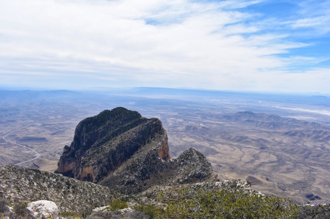
 Coming around the bend into the park you get some pretty great views of the mountains. The prominent peak is El Capitan. Which I am learning it seems every national park with a peak looking like this names it that.. Requires some further investigation! Now pay close attention to that peak hiding behind it. Its the tallest peak in the range (and in Texas) – Guadalupe Mountain. It tops out at about 8750 feet!
Since I figured this peak had to offer the best views in the park I couldn’t resist. The trail claims to be about 8.4 miles. Now thanks to a fitbit that needs to be re-calibrated I felt like I climbed 12. Not the best encouragement to think you’re at the end when you’re only 2/3rds of the way there. The climb starts at about 5700 and has 3000 feet of elevation gain. This is easily the most elevation gain I’ve done ever. Although the 14er in Colorado was a close second (and also a higher elevation).
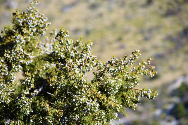
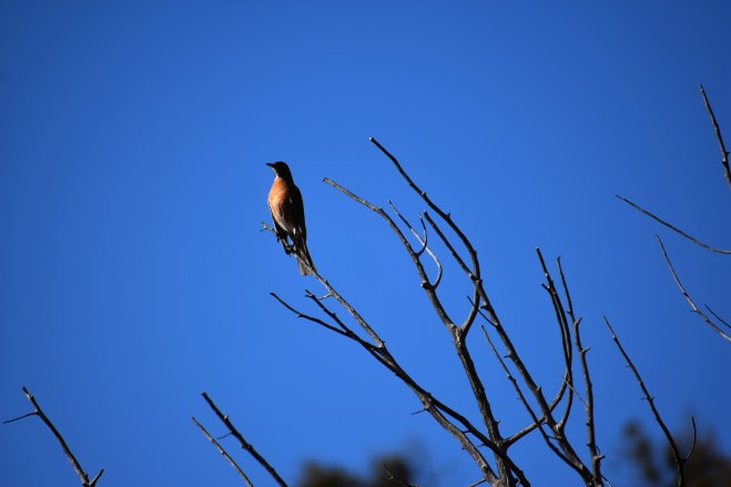
So I will not pretend this hike was easy. It was exhausting. BUT very very worth it. Check out some of my views on the way up.
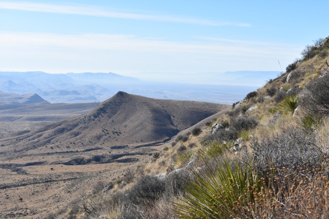
 The first mile and a half are the steepest. Then it does level out for a while with a more doable gradient. You know you’re getting close to the top when you can finally see the top of El Capitan! Made a bunch of friends along the way. Most of them were elderly couples who blew past me on the trail. No shame. Those old National park hikers are fit!
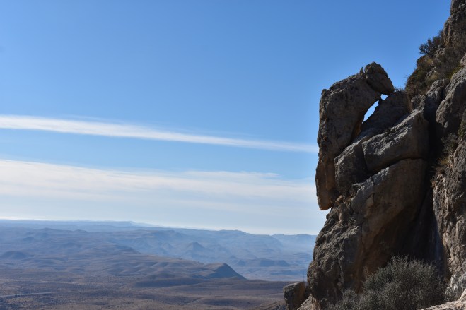
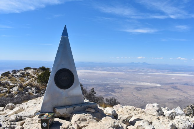
So just a little bit further (with some rock scrambling) you reach the top of the peak! There is a book you can sign inside of the ammo can. Now I must admit when I heard there was a book I thought it was going to be PACKED full of names, and I hoped I would see one that was familiar. When I opened it up there was only one page of names and they were all from that week! I must have just missed the switch over. Nevertheless if any of you summit any time soon my name is in the book!! There is a monument at the top – which makes for some cool pictures. I believe it was for a mail route that used to run through the area.
Once I finally made it back down the mountain I decided that hike warranted a hotel stay instead of camping in the cold (20 degrees overnight!) I really need to start checking the elevation of my campgrounds… I stayed in the town of Carlsbad ~20 miles away. Next up Carlsbad Caverns!

Love your posts!
LikeLike